Up Ron & Marjolijn's holiday pictures » 2012-05 Jordan » 06-Petra Prev Next Slideshow

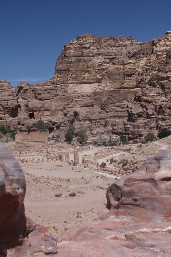
 Previous image  Next image  Index page  Original Image [25-View of Qasr al-Bint.jpg - 1.1MB]
13-The Treasury
14-Exit of the Siq at the Treasury
15-Entrance to the Outer Siq from the Treasury
16-Warriors
17-Transport in Petra
18-Transport in Petra
19-The Outer Siq after the Treasury
20-Temple at the end of the Outer Siq
21-Colored sandstone
22-The Theatre from a Royal Thomb
23-The Urn Thomb
24-Hiking above the Petra City Centre
  25-View of Qasr al-Bint.jpg - View of Qasr al-Bint  
26-Upper and Lower Temenos and Great Temple
27-The way to the Monastery
28-The Monastery
29-The way to the top of the world
30-The Top of the World
31-Upper and Lower Temenos and Great Temple
32-Mosaic floor in the Byzantine Church
33-Palace Tomb (left) and Corinthian Tomb (right)
34-Urn Tomb
35-Colored sandstone inside the Urn tomp
36-The Obilisk
37-The High Place of Sacrifice

View of Qasr al-Bint Download Original Image
Latitude: N 30°19'42,21" | Longitude: E 35°26'41,66" | Altitude: 909 metres | Location: Petra | City: Wadi Musa | State/Province: Ma‘an | Country: Jordanië | Copyright: Ron Harkink | See map
Total images: 45 | Help